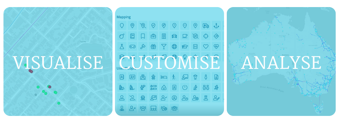
We are excited to announce our latest feature, Mapping is about to launch in Consultation Manager!
Many of you have asked for a more feature-rich mapping tool for stakeholder engagement, and we have taken on your feedback and are about to release a BETA version of our new mapping tool!

- Add layers to the map made up of your data such as Stakeholders and Properties
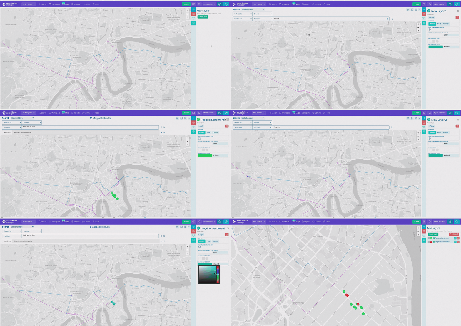
- Customise these layers to easily analyse your data. For example, comparing noise complaints to dust complaints or negative interactions to positive interactions
- Add your own GIS data on the base map, such as project boundaries, buffer zones and existing infrastructure
- Map a stakeholder or asset by their latitude and longitude

Keep your eyes peeled for our mapping tool launching very soon!

